
Problem Based Learning and Problem Based Design Thinking
The courses offered at UMCSAWM have been designed based on years of solid industry experience and dynamic international perspectives to ensure that the participants attain internationally well recognized postgraduate engineering and science qualifications with an entrepreneurial dimension, also demonstrating distinctive strengths in education and research.
What sets us apart and unique is our pioneering approach to learning where Problem Based Learning (PBL) and Problem Based Design Thinking (PBDT) are seamlessly integrated into every module ensuring that innovation and excellence converge in our Master of Science (SLQF L10), Master’s (SLQF L9) and other research programs.
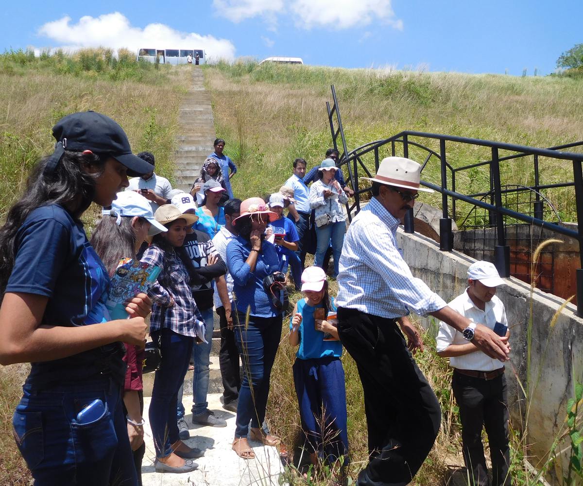
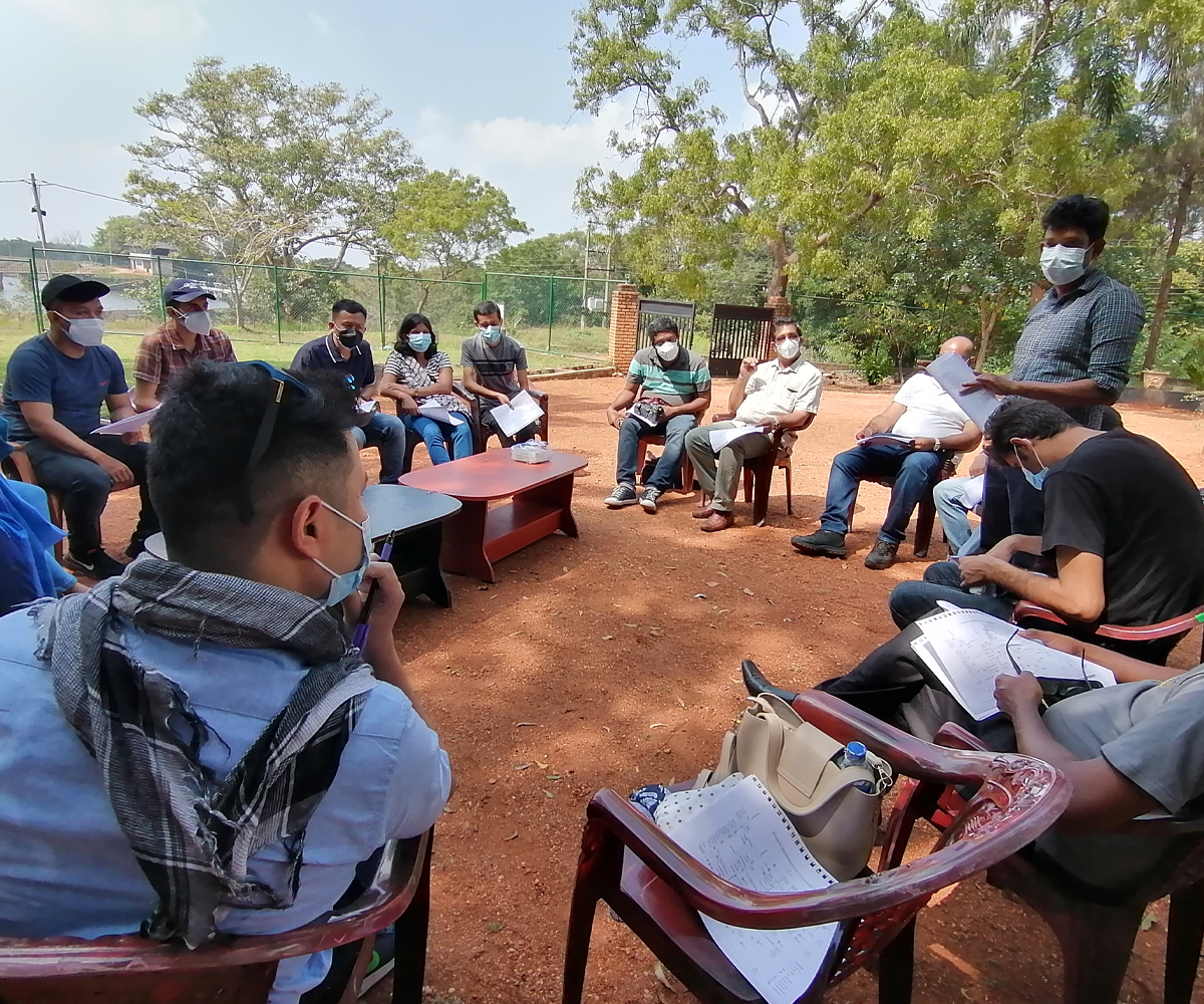
The PBL and PBDT are the evolution of traditional learning models, enhancing the field exposure of participating practicing engineers and scientists. In PBL, we emphasize three crucial stages: Problem identification/analysis, Problem solving, and Project reporting, with a laser focus on analytical problem-solving. The PBDT, on the other hand, employs a series of integrated design spaces – Exploration, Alignment, Research, Mission, Vision, Conceptualisation/Idealisation, Product/Solution formulation, Validation, and Process reporting – to nurture innovative ideation, critical thinking and analysis, and integration while following system dynamics approach in most cases.
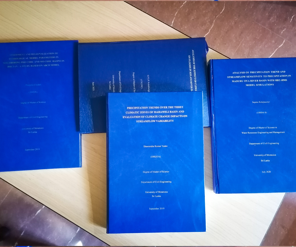
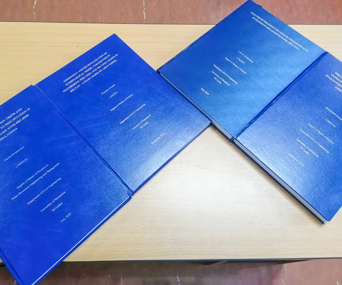
Accordingly, during the past period of nearly 10 years, over 1,750 PBL/PBDT Mini Projects based on real life water engineering issues have been handled by our scholars.
Join us in mastering the art of creative problem-solving and fostering innovation through the power of prototyping and modeling with Design Thinking. At UMCSAW, we are shaping the future of engineering and science education.
Application of PBL/PBDT in Delivery and Learning in MSc/Masters Programs
UMCSAWM proudly presents an innovative and holistic approach to postgraduate education through our Master of Science programs in Water Resources Engineering and Management (WREM) and Water Resources Management (WRM). What sets these programs apart is our unique embedded Problem-Based Learning (PBL) and Problem-Based Design Thinking (PBDT) approach, designed to empower students with practical skills, deep analytical thinking, and a solution-driven mindset.
Our PBL/PBDT methodology goes beyond traditional learning by immersing students in real-world challenges. The WREM program focuses on water engineering, equipping students with advanced technical expertise, while the WRM program takes an interdisciplinary approach, addressing environmental, social, and policy dimensions of water management. Both programs guide students through three distinct stages: problem identification/analysis, problem-solving, and project reporting, fostering analytical and solution-oriented thinking.
UMCSAWM is committed to shaping future water resource leaders who are not only well-versed in theory but also capable of addressing complex, multifaceted water challenges, making them standout professionals in the field. Explore our postgraduate programs to embark on a transformative learning journey and become a driving force in sustainable water resources management.
Copyright © 2025 UNESCO Madanjeet Singh Centre for South Asia Water Management
WordPress Theme by WPZOOM